|
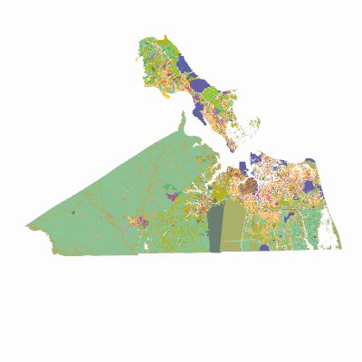
Width: 400 Height: 400 Extent:
YMin: 3200133.5527404286 XMax: 1.22862959229107E7 YMax: 3747334.2860390544 Spatial Reference: 103177 (6595) LatestVCSWkid(0) Scale: 1575938.1119000423 |
| ArcGIS REST Services Directory | Login | Get Token |
| Home > services > regionalgis > ExistingLandUse (MapServer) > export | API Reference |
|
|
Width: 400 Height: 400 Extent:
YMin: 3200133.5527404286 XMax: 1.22862959229107E7 YMax: 3747334.2860390544 Spatial Reference: 103177 (6595) LatestVCSWkid(0) Scale: 1575938.1119000423 |